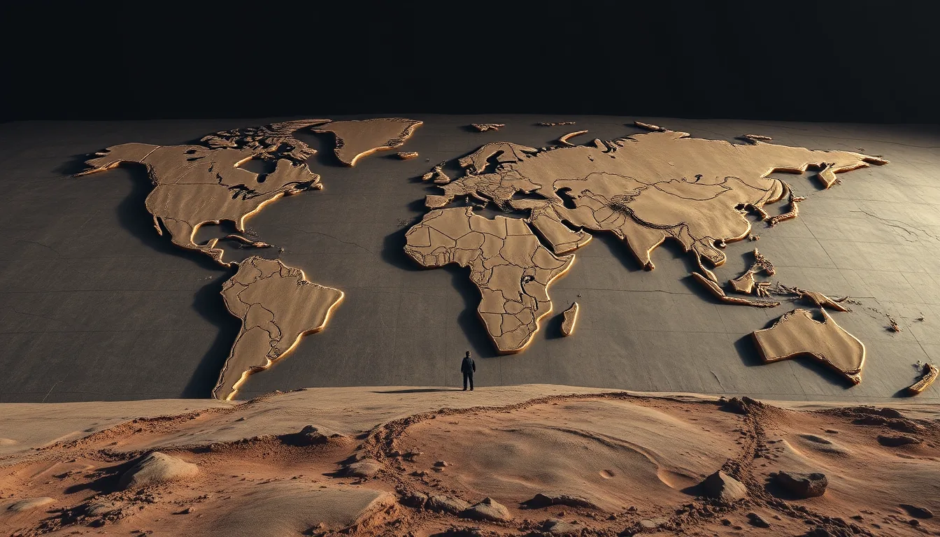
Remember when Google Earth felt like the pinnacle of planetary data? It was a visual triumph, sure, but it was essentially a giant, static digital album. You could zoom in on your childhood home or look at the Pyramids, but the data was passive. It was a map, not a mind. Now the goal is moving from “looking” to “reasoning,” and that requires a shift in how we handle data that makes a standard GPU cluster look like a handheld calculator. We are talking about moving from a world where we ask “where is this building?” to one where we ask “how has the urban heat island effect changed in this specific zip code over the last five years?”
AI2 is trying to bridge this gap with OlmoEarth. Instead of just releasing another model that can tell a forest from a city—a task we’ve had solved for a decade—they’ve focused on the plumbing. The OlmoEarth infrastructure is designed for planetary-scale inference, meaning it handles the nightmare of tiling, coordinate systems, and the sheer volume of geospatial data that usually crashes a standard pipeline. It is a massive bet on the idea that the bottleneck in geospatial AI isn’t the weights of the model, but the way we feed the data into those weights. For those who have tried to load a multi-gigabyte GeoTIFF into a Python script only to have the kernel die instantly, this is the only part of the project that actually matters.
But let’s be real about the friction. “Planetary scale” is a fancy way of saying this requires an obscene amount of compute. To run inference on a significant chunk of the Earth’s surface, you aren’t just spinning up a few A100s; you’re managing a logistical operation that rivals a medium-sized data center (I suspect the cost per square kilometer is still terrifying). It’s a bit like trying to cook a five-course meal for a thousand people in a home kitchen. You can have the best recipes in the world, but if you only have one stove and a single whisk, you’re just making people wait. You can’t just “scale” your way out of the fact that geospatial data is heavy, clunky, and fundamentally resists being shoved into a standard transformer architecture.
This is where the industry has been wrong for years. Everyone wanted the “GPT-4 of satellites,” thinking a bigger model would magically solve the problem. But geospatial data is fundamentally different from text. You can’t just tokenize a pixel and call it a day; you have to deal with projections, temporal drift, and the fact that the Earth doesn’t fit neatly into a square tensor. By building the platform first, AI2 is admitting that the infrastructure is the actual product. If you can’t scale the inference across the globe without the system choking on its own tiles, the model is just a research paper with a pretty map. Or maybe I’m overestimating how much the average researcher cares about the plumbing, but in my experience, the plumbing is usually where the project dies.
Do we actually need a planetary-scale inference engine right now? Probably not for the average developer, but for anyone doing climate monitoring or urban planning, the current “manual tiling” workflow is a joke. It reminds me of the early days of ImageNet, where the struggle wasn’t the algorithm but the sheer agony of organizing the data. The real test will be whether this stays a curated academic tool or becomes something a developer can actually use without a PhD in GIS and a blank check from a cloud provider. Expect the first truly autonomous, global-scale environmental monitoring agent built on this architecture by Q4 2025.
It’s about time someone stopped pretending that a better loss function could replace a proper data pipeline.